Time flies out here on the trail. Sometimes I just wish the miles would fly a little faster. We have completed New Jersey and are about 30 miles into New York. This past week has been a week of extremes, with massive heat waves, thunderstorms with torrents of rain, and some amazing trail magic.

Hello New Jersey!

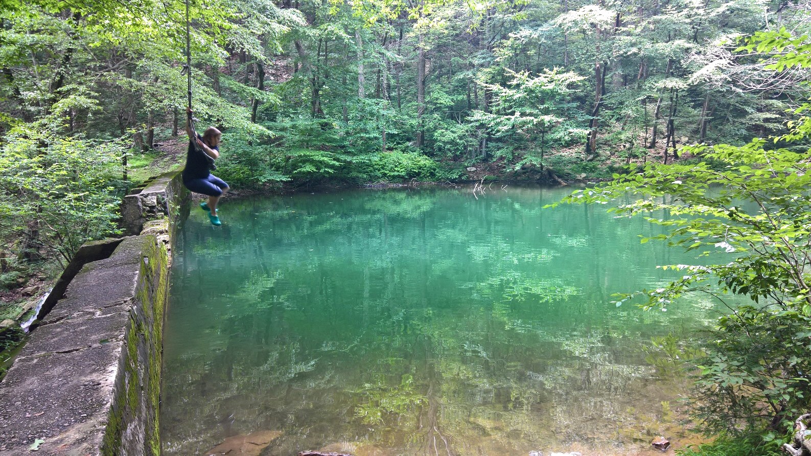
The trail followed right along the edge of Sunfish Pond, apparently a unique habitat due to the acidity of the water. A sign nearby said only a few species like sunfish and yellow perch can survive. Also, don’t swim in it.

High Point State Park (the highest point in New Jersey at about 1700 feet). The views were beautiful, but we enjoyed them a few minutes to long. Just after this we were caught in a huge downpour about a half mile from the shelter we camped at that night.

Lower parts of New Jersey offered lots of planks and boardwalks over marshy soil.

A much longer, more official boardwalk through a wetlands.

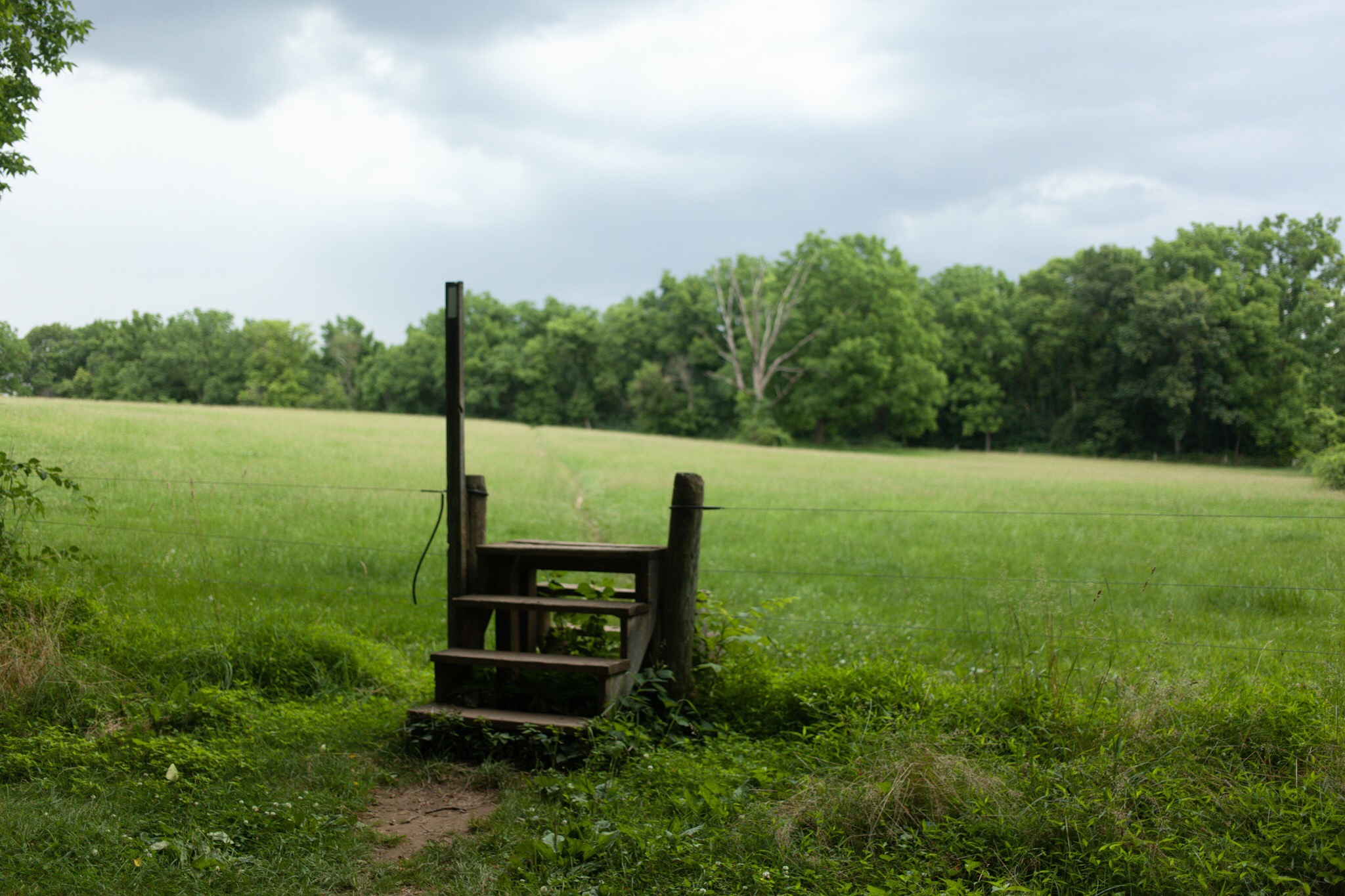
We also passed through farmland, with the trail following stone “walls” in the trees at the edge of the fields.

Sometimes the walls and trail were indistinguishable.
New Jersey eased up on the rocks compared to PA, and overall was a nice state to hike through. The weather was our biggest challenge, but with so many towns close by we found that it was easy to find places to cool off from the afternoon heat, or dry out from the latest thunderstorm. We sat by a lake behind a tavern to cool off in Branchville. Inside a pizzeria in Unionville to beat the afternoon heat. Ate homemade ice cream at a farm stand right on the trail outside Vernon, and again the next day at the creamery in Bellvale. After the creamery we caught a ride in and camped at the Warwick Drive-In where they allow hikers to camp and watch movies for free. The day we camped at the Drive-In we started the New York proper section of the trail although the New Jersey section has followed the state line for miles.
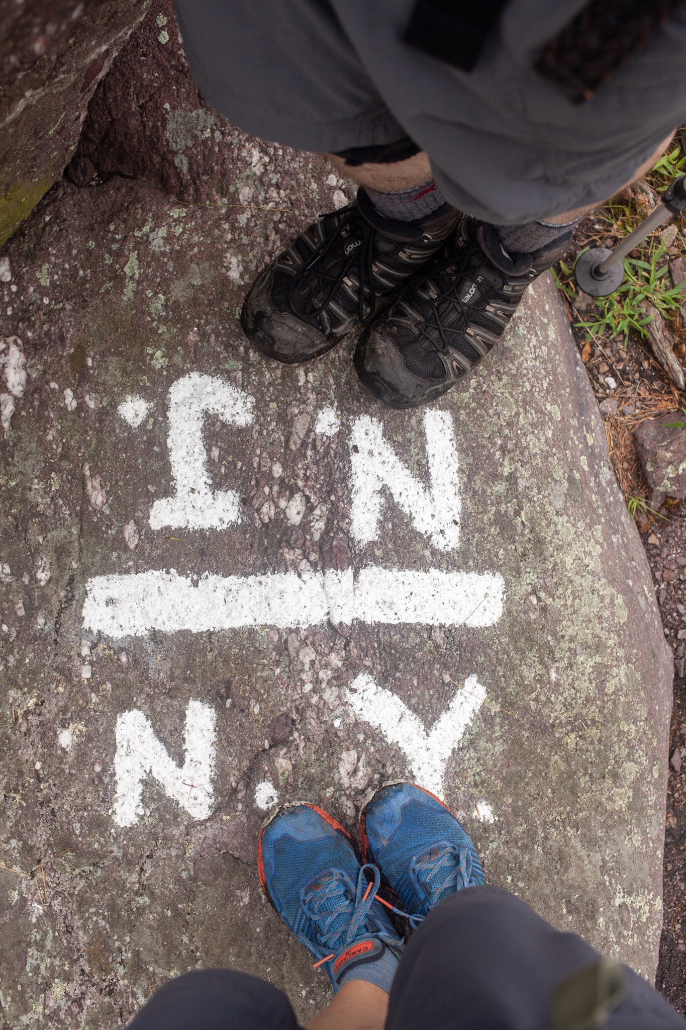
Welcome to New York!
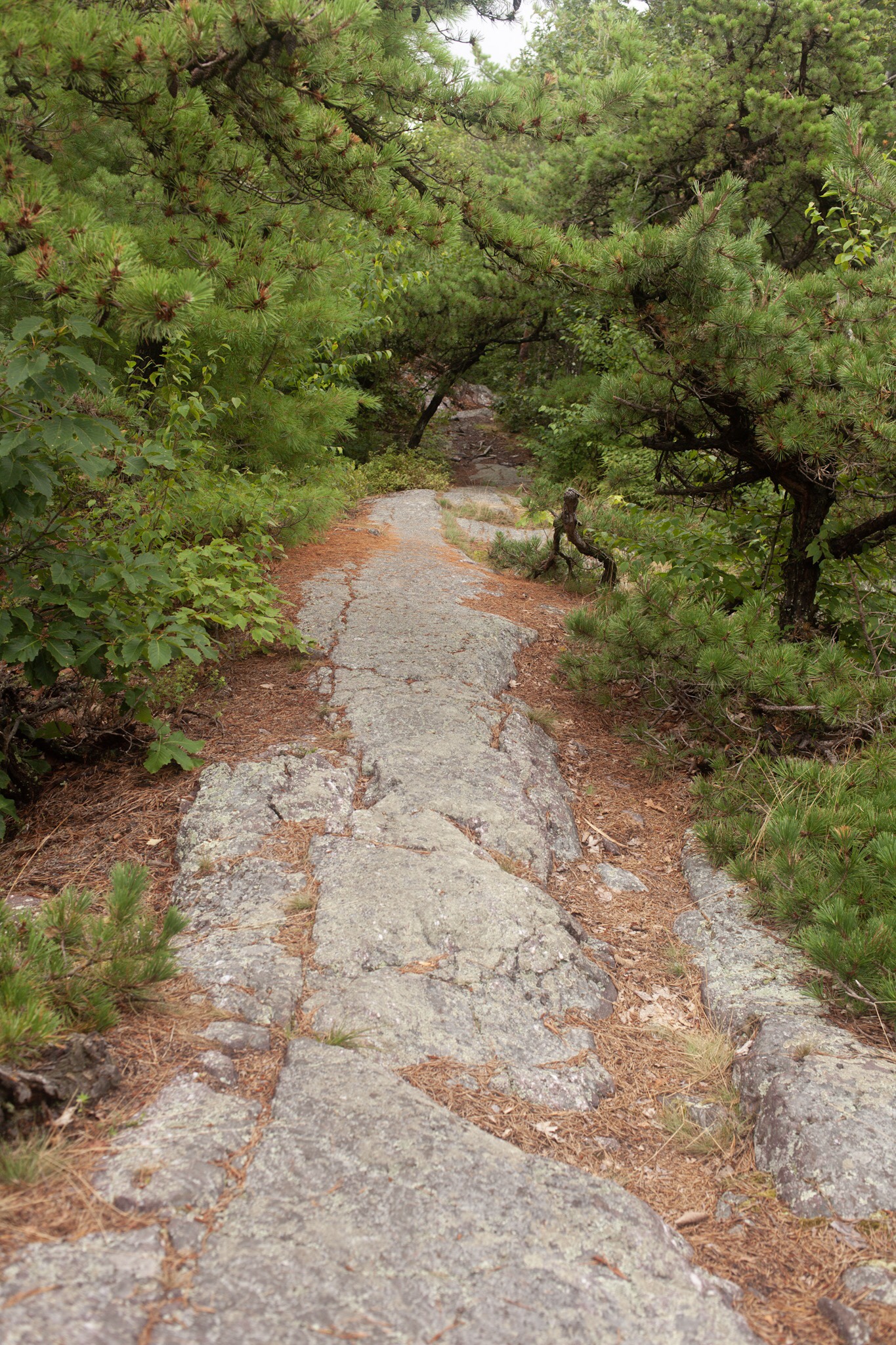
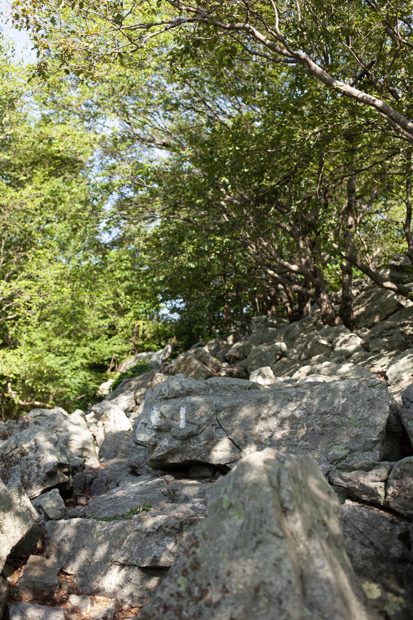
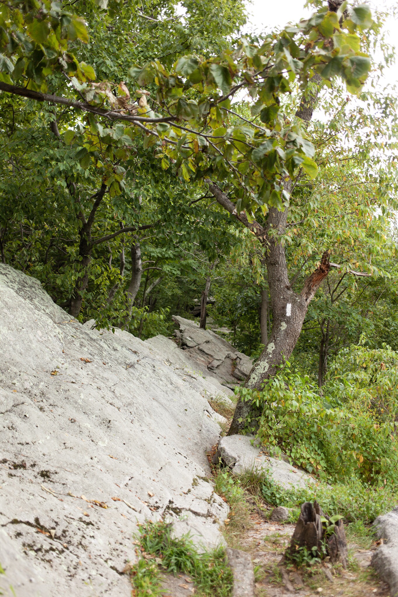
I’ve started thinking of these nice flat stretches of rock as nature’s sidewalks. New York has quite a few of them.

Prospect Rock, highest point on the AT in New York. Only a little more than 1400 feet in elevation.
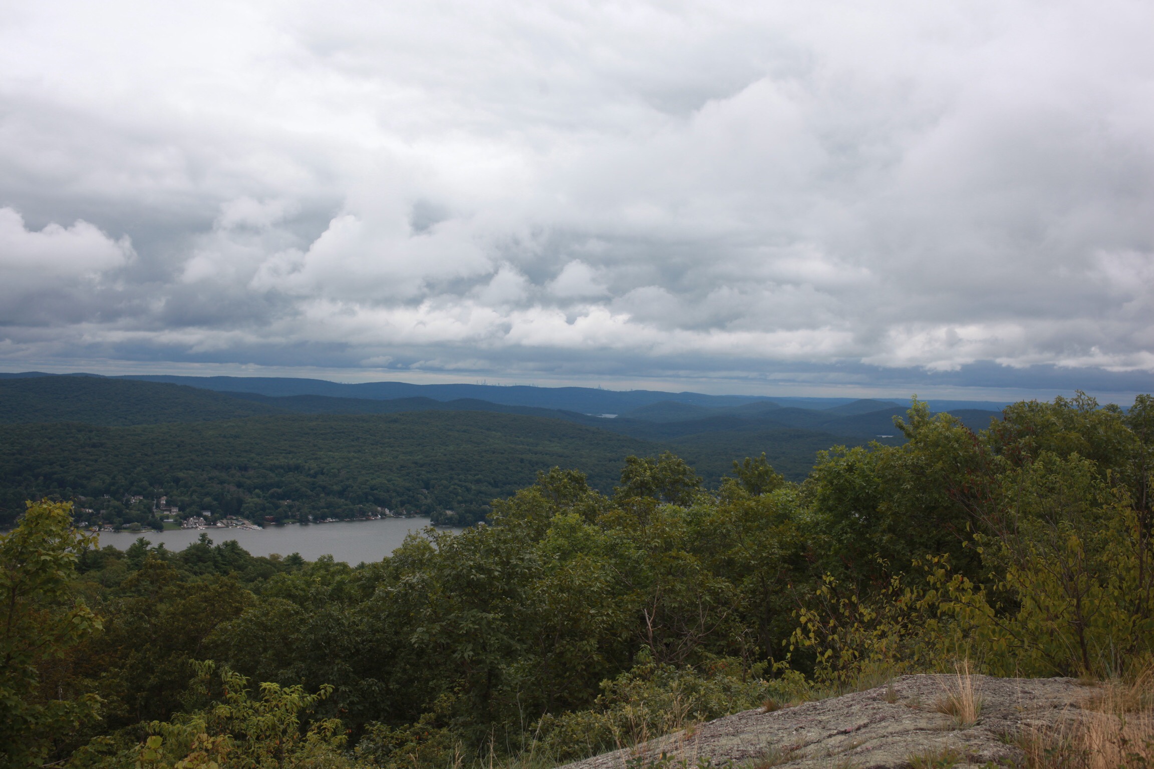
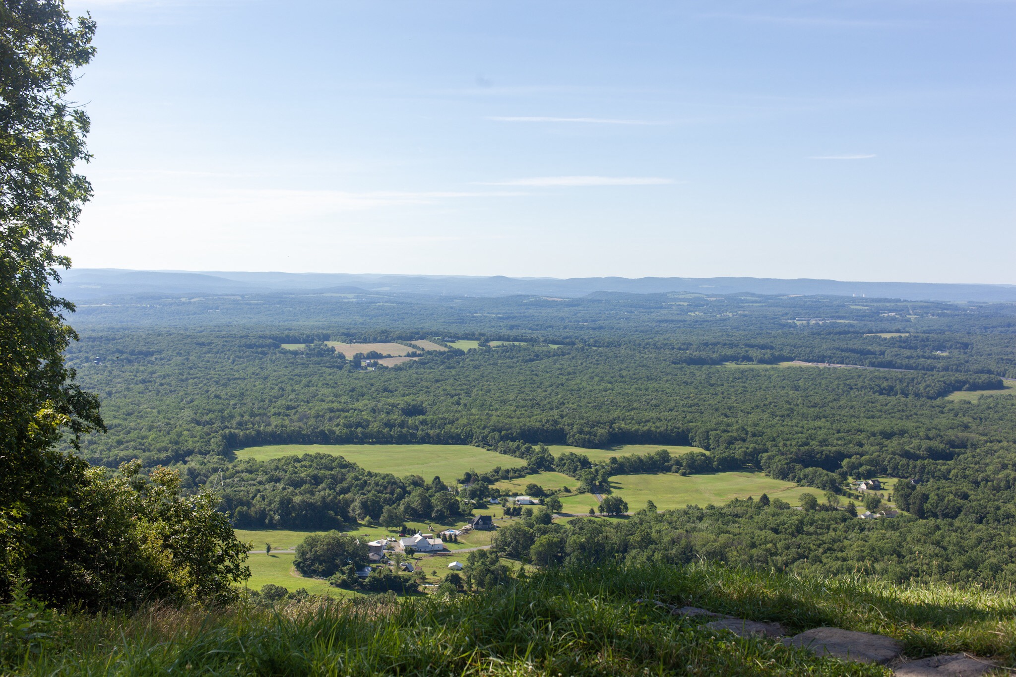
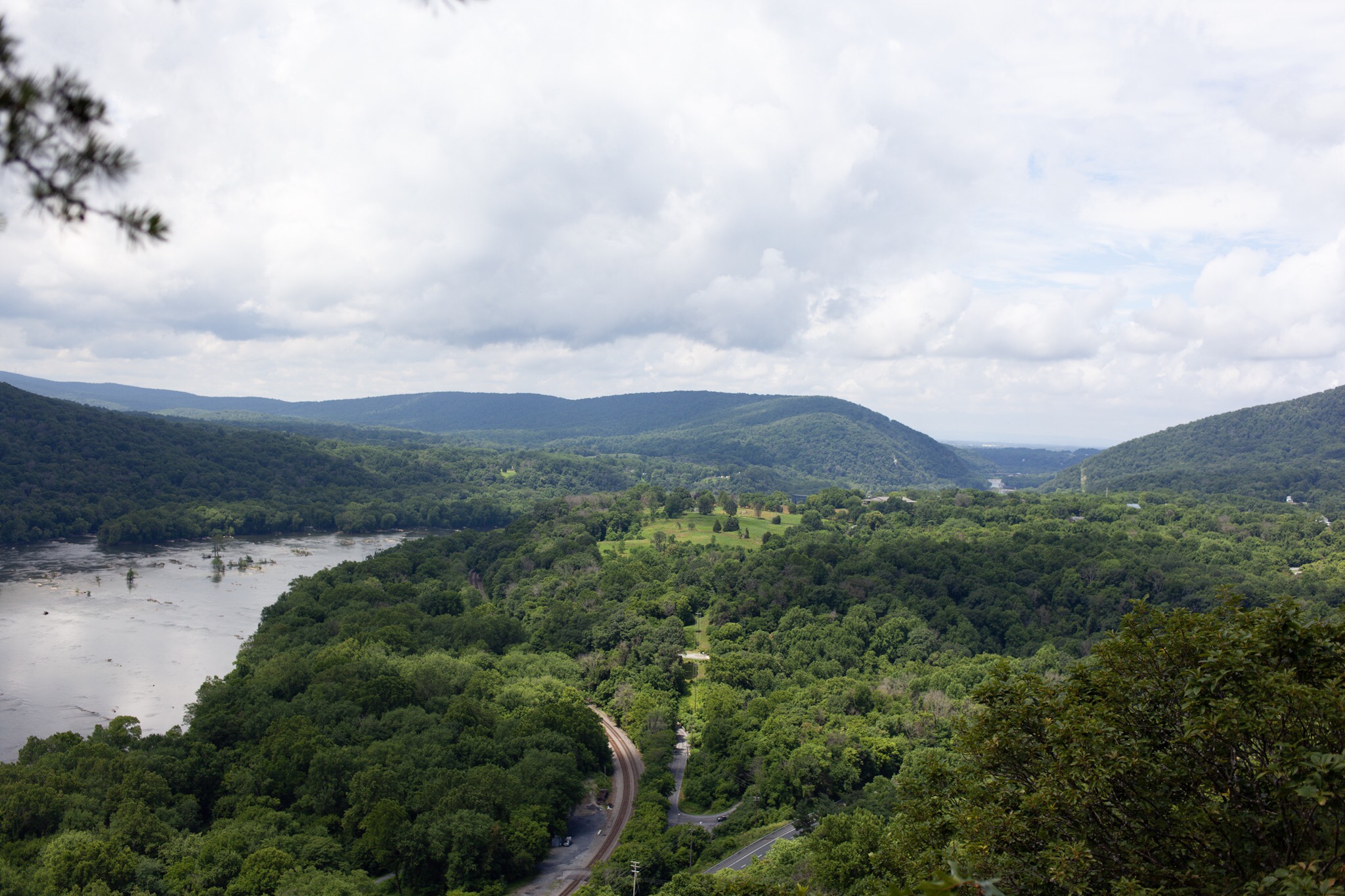
Just past Prospect Rock we got our first glimpse of New York City skyline on the horizon (it’s tiny, I’m not sure if it’s even visible when the photo is at web resolution). Greenwood Lake was just below us.
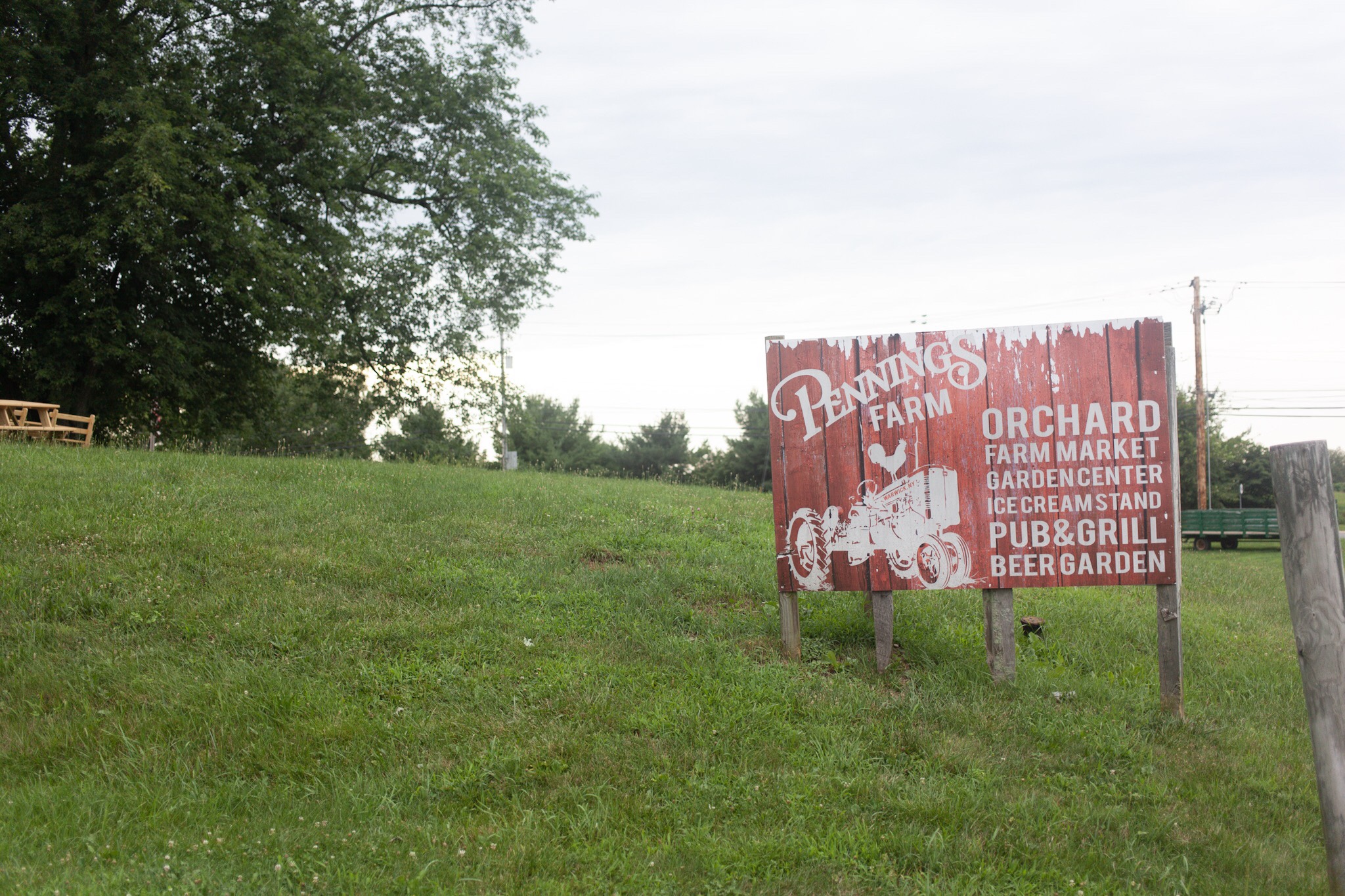
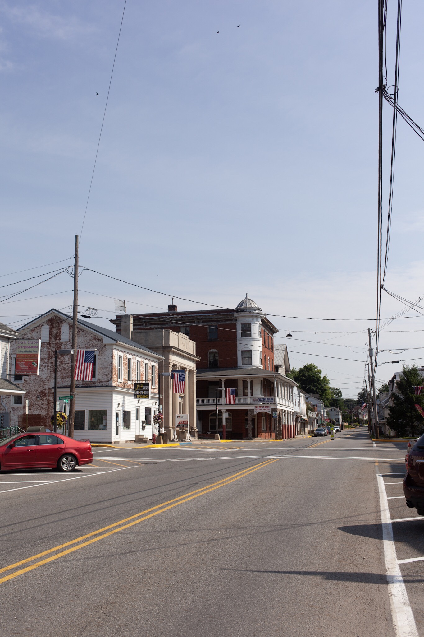
Across from the Drive-In in Warwick there was a great farm store with a beer garden and cidery. The staff was great and whole place was super hiker friendly. Their ciders were tasty too!

When the trail guide said “ladder,” we didn’t really know what to expect. Rebar ladder up a rock face it is.

More sidewalks through the treetops.

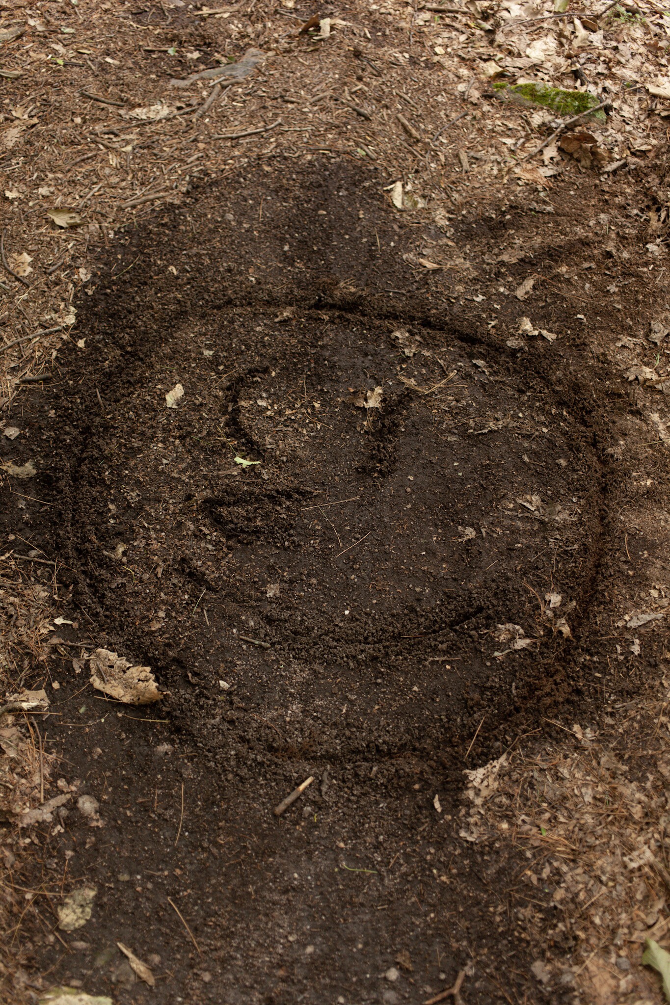
We’ve seen several of these giant caterpillar things. I’ve never seen one like this before, but they were about 4” long and probably 1/2” diameter.

We have also seen lots of strange and brilliantly colored mushrooms and fungus. A shuttle driver told us the climate has been almost tropical the last few years, and with the humidity it sure seems that way.

The trail goes up stairs right next to Fitzgerald Falls. So far New York loves its stone steps.
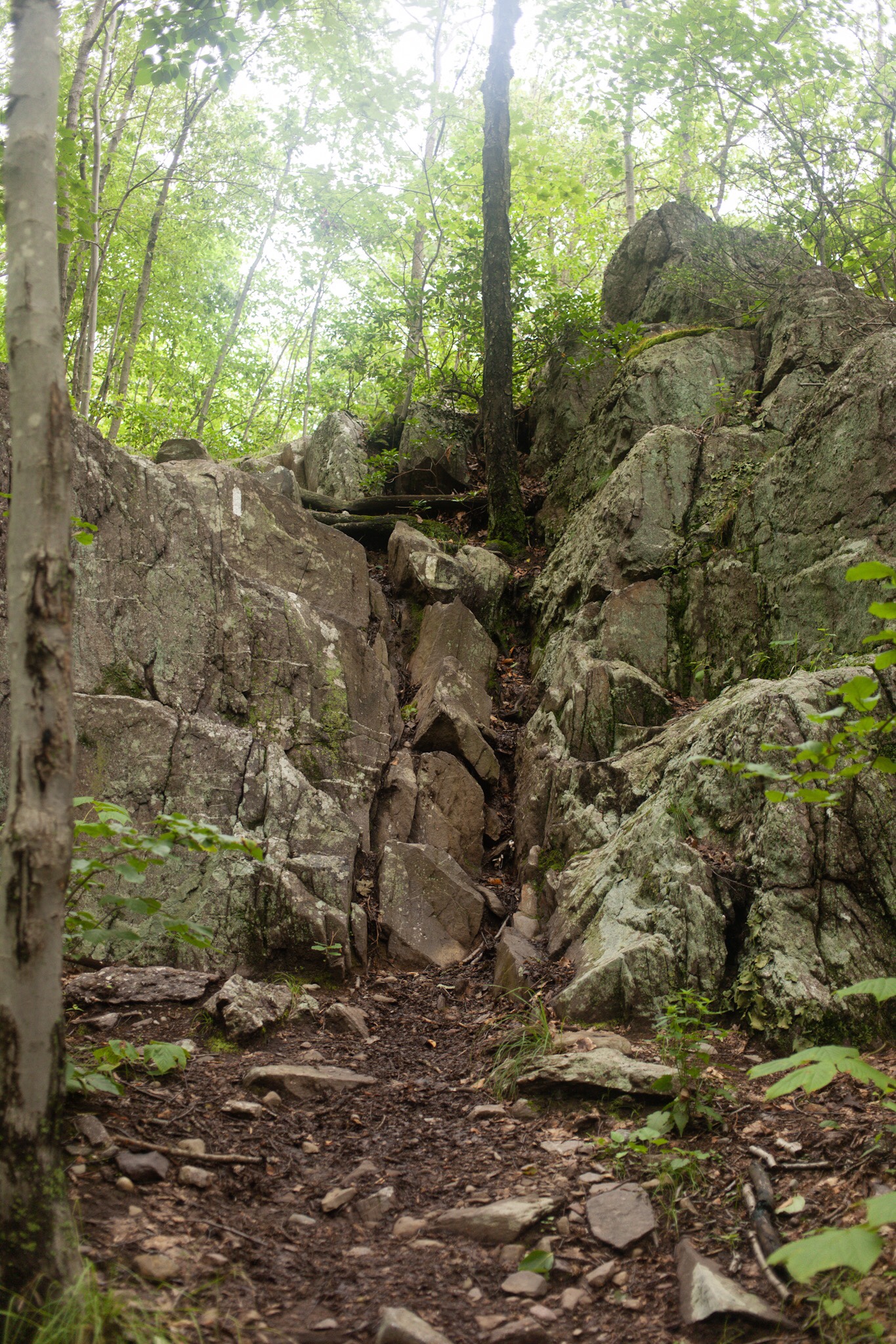
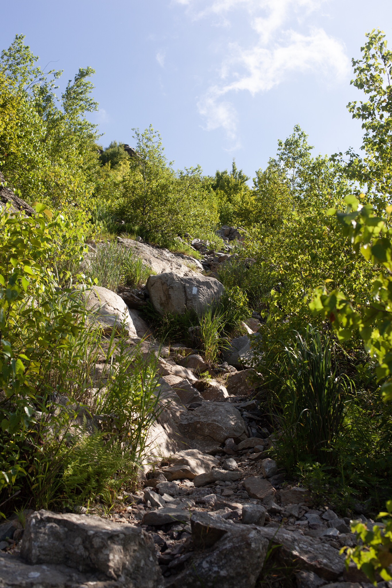
Another short vertical scramble. The terrain doesn’t have huge vertical climbs, but there have been tons of short fun scrambles to keep us on our toes. They aren’t too hard, but they definitely slow you down.

Sunset at the Warwick Drive-In. AT hikers can camp and watch movies for free on portable radios provided by the theater. It was a big crowd the night we were there.
So far New York has had just as many close by towns, but much more intense terrain. The country is rugged and beautiful with quite a few rock scrambles. Yesterday went fairly smoothly, but the day before we pushed through a section at the end of the day that we later noted on a sign was called “Agony Grind” with intense steep ups and downs for a couple miles ending with a 1000ft steep descent to the road. At the end of the day, the last mile is always the longest.

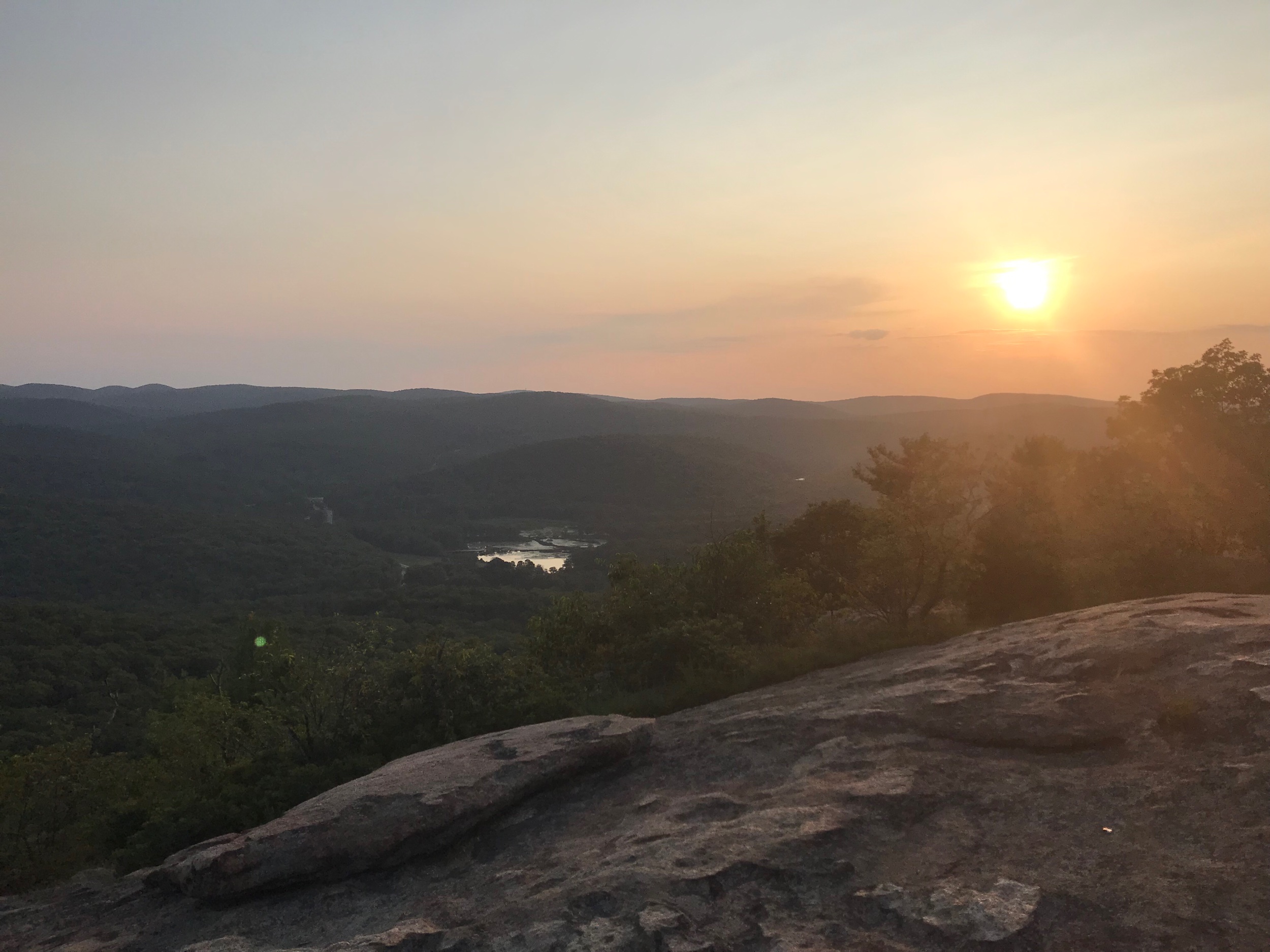
Sunset on a ledge just before the Agony Grind stretch of trail.

More sidewalks through the mountaintop meadows.
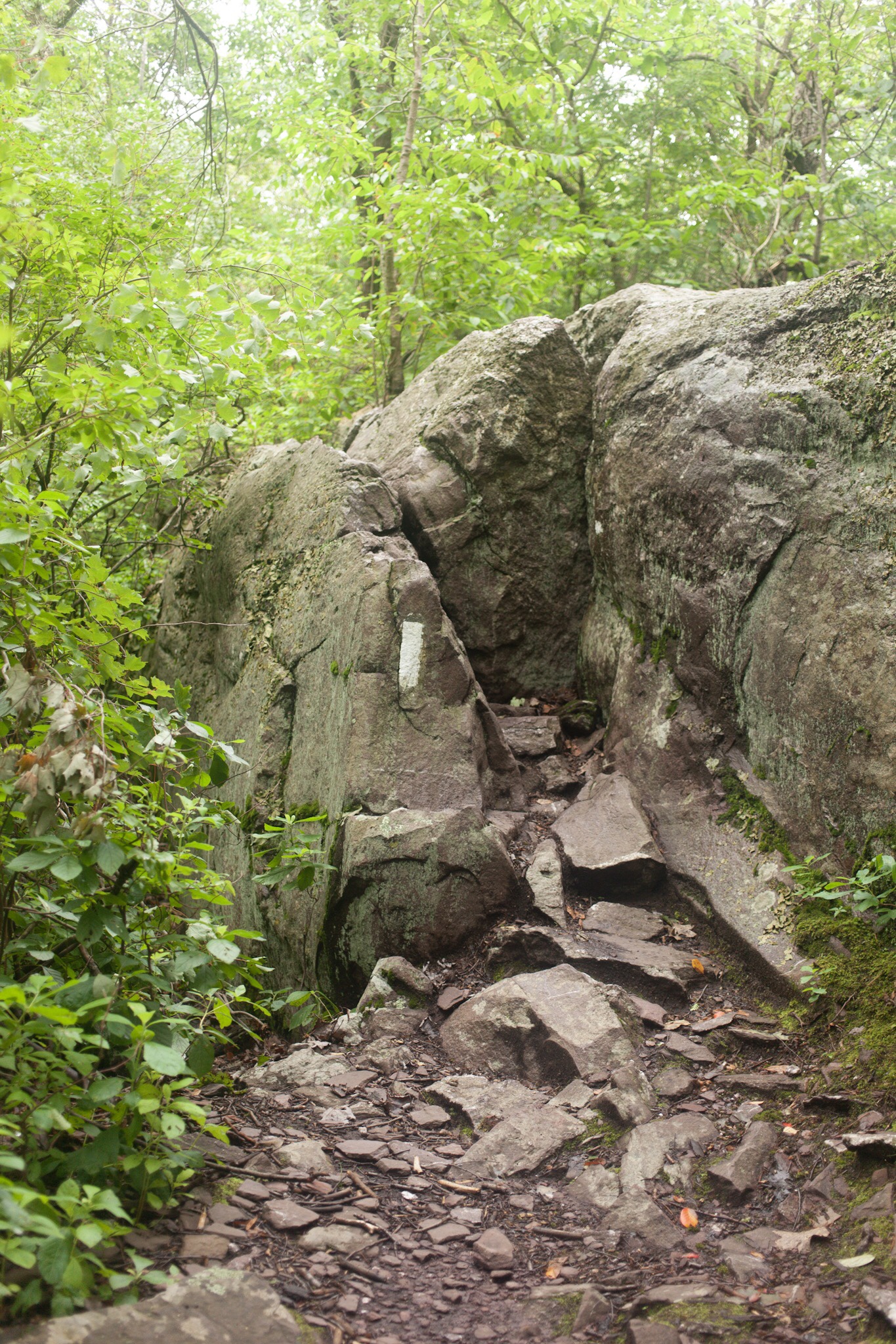
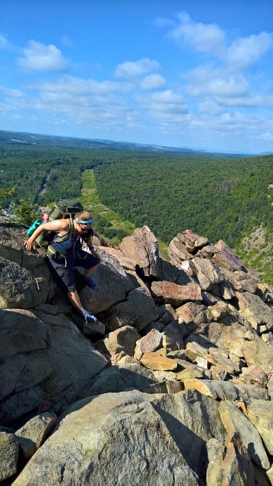
Another slightly more vertical rock scramble.

They call this one the Lemon Squeezer, half way through I had to take my pack off and lift it up onto the ledge above me and then climb up after it. All these obstacles definitely keep it interesting.

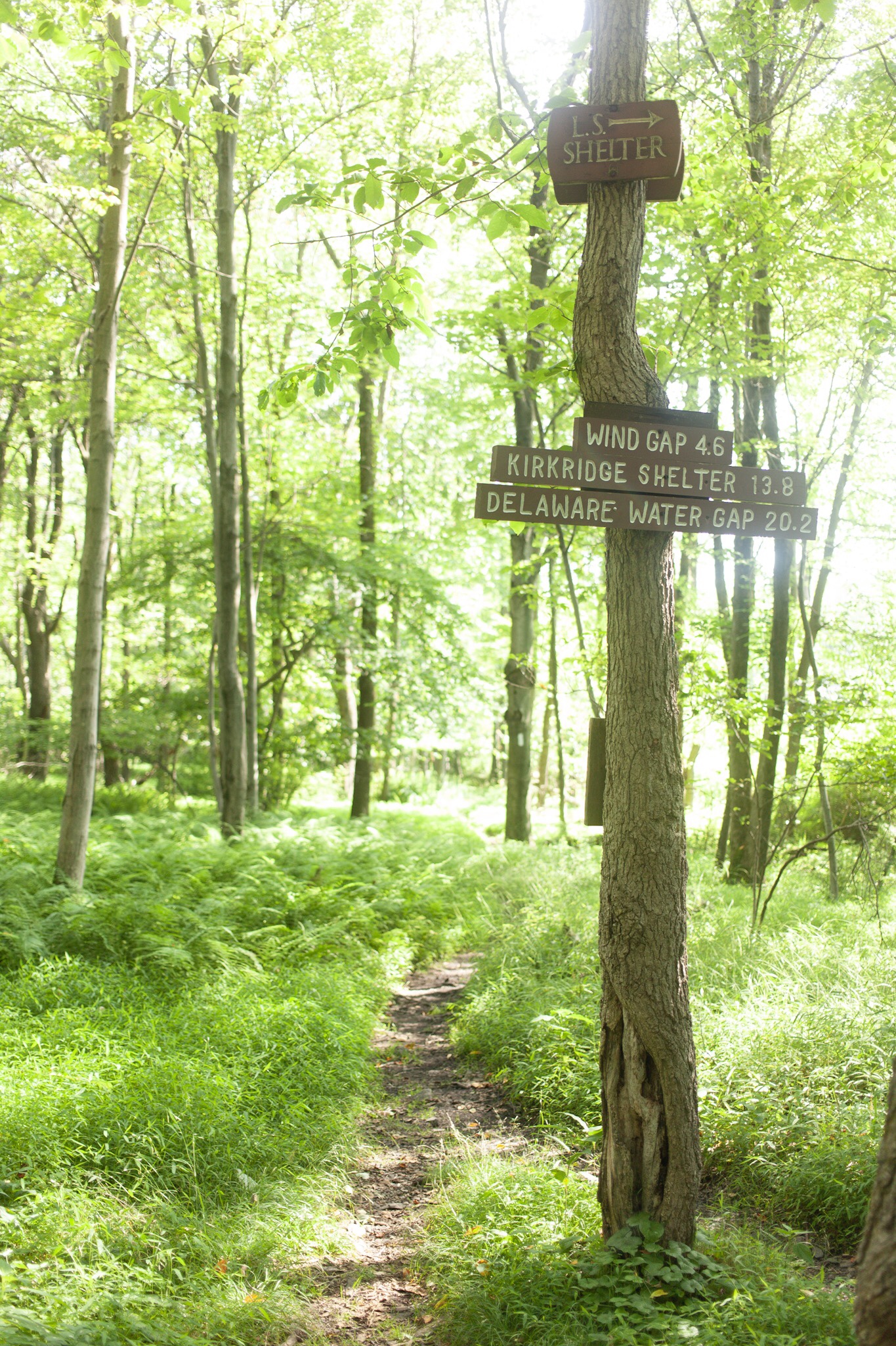
Helpful signage along the way. There are many trails in this area.

These sidewalks have views for days.
Great views of the sunset at this campsite on Bear Mountain.

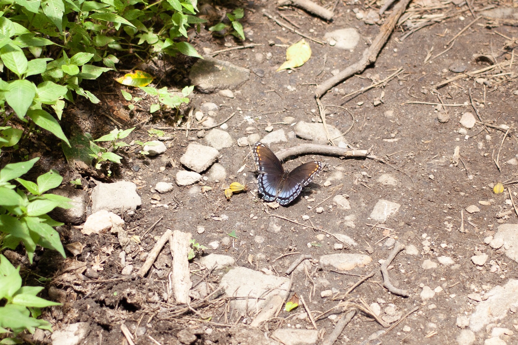
We walked through a zoo on the trail today leaving Bear Mountain, New York. It was tiny, but this butterfly garden was very active. There have been many butterflies on the trail as well.
Tonight we are camped a few miles past Bear Mountain, NY. We’ve slowed our mileage a little bit, but hopefully can manage to maintain a good pace as we prepare for the bigger mountains in the north.